
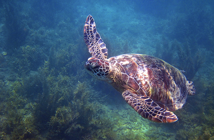
Sea turtle, Great Barrier Reef ©Tanya Puntti
Vagabondish is reader-supported. When you buy through links on our site, we may earn a small affiliate commission. Read our disclosure.
Starting in September, the University of Queensland Global Change Institute and Underwater Earth, along with Google will start charting the Great Barrier Reef for Google Maps.
In addition to the general Google Maps audience, the charts will be used to study the Reef and Coral Sea and investigate the effects of climate change on sea life. A preview site is currently available, but by the time the charting is complete, an estimated 50,000 images will be captured.
You can view the “street view” preview here.