
© K. Hurley
Vagabondish is reader-supported. When you buy through links on our site, we may earn a small affiliate commission. Read our disclosure.
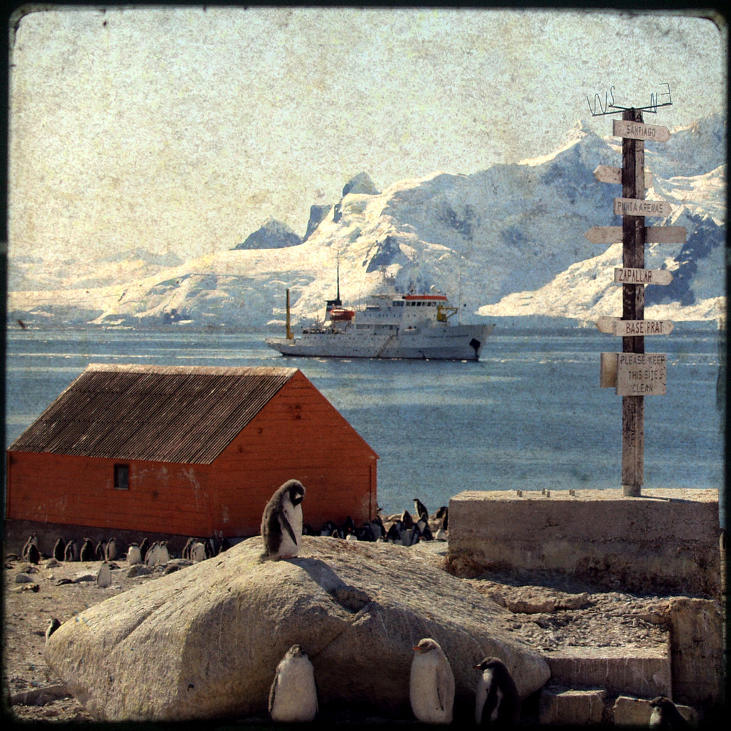
In its ever-expanding quest for world domination, Google has announced that their Street View technology is now available in Antarctica. The officially marks the seventh continent on which their mapping technology is available.
Brian McClendon, VP of Engineering for Google Earth and Maps said:
[W]e’re happy to announce that you can now explore Street View imagery on all seven continents, with the addition today of Brazil, Ireland and Antarctica. You can now see images from around the world spanning from the beaches of Brazil, to the moors of Ireland, to the icy terrain in Antarctica.…
We hope this new imagery will help people in Ireland, Brazil, and even the penguins of Antarctica to navigate nearby, as well as enable people around the world to learn more about these areas.
Remember the dark ages of, oh, six years ago when we had to actually crack open an atlas or [gulp] a real live book to see such pictures? Amazing.