
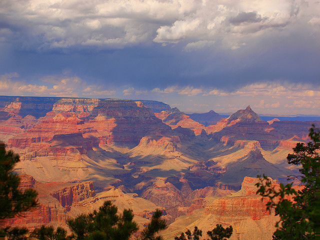
Grand Canyon, south rim ©filippo rome
Vagabondish is reader-supported. When you buy through links on our site, we may earn a small affiliate commission. Read our disclosure.
Much like the street view option on Google Maps, “Trail View” allows users to virtually walk through national parks of the United States.
Trail View was created by the Nature Valley granola bar company, a longtime supporter of national parks. Users can cover over 300 miles of the Grand Canyon, Great Smoky Mountains, and Yellowstone.
To capture the footage, teams of 10-12 people ventured to each park for two weeks hiking, and capturing images along the way with cameras mounted on their backpacks.
More information on starting your virtual journey can be found at MSNBC.com