The next time you’re at a wine and cheese soirée and a well heeled guest begins to talk about her trip to Budapest, smoothly butt in with an “Ahhh, Budapest … isn’t the Deak Ter station there the quaintest?” You’ll sound more Hungarian than Goulash.
Vagabondish is reader-supported. When you buy through links on our site, we may earn a small affiliate commission. Read our disclosure.
So, how will you know Budapest even has a subway? With Mark Ovendum’s new Transit Maps of the World: The World’s First Collection of Every Urban Train Map on Earth (aff), it’s easy to pretend you’re a native.
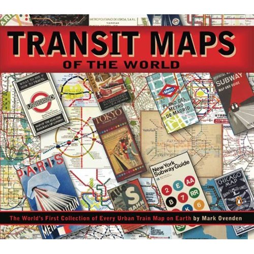
Featuring subway maps from more than 200 cities, this must-have for urban travel freaks includes a little background on each subway and the challenges of building it. Maps for older cities include their historic maps and even plans for proposed future changes. Cities that are covered range from the great – London, New York, Paris and Berlin — to the obscure — Minsk and Genoa.
Even cities that have light rail and commute systems, hybrid tram trains and mono rails are featured in this comprehensive and brilliantly detailed guide.